
Upping our game and meeting new challenges in topographical survey
INROS LACKNER TOGO acquires new drone for tropographic surveying
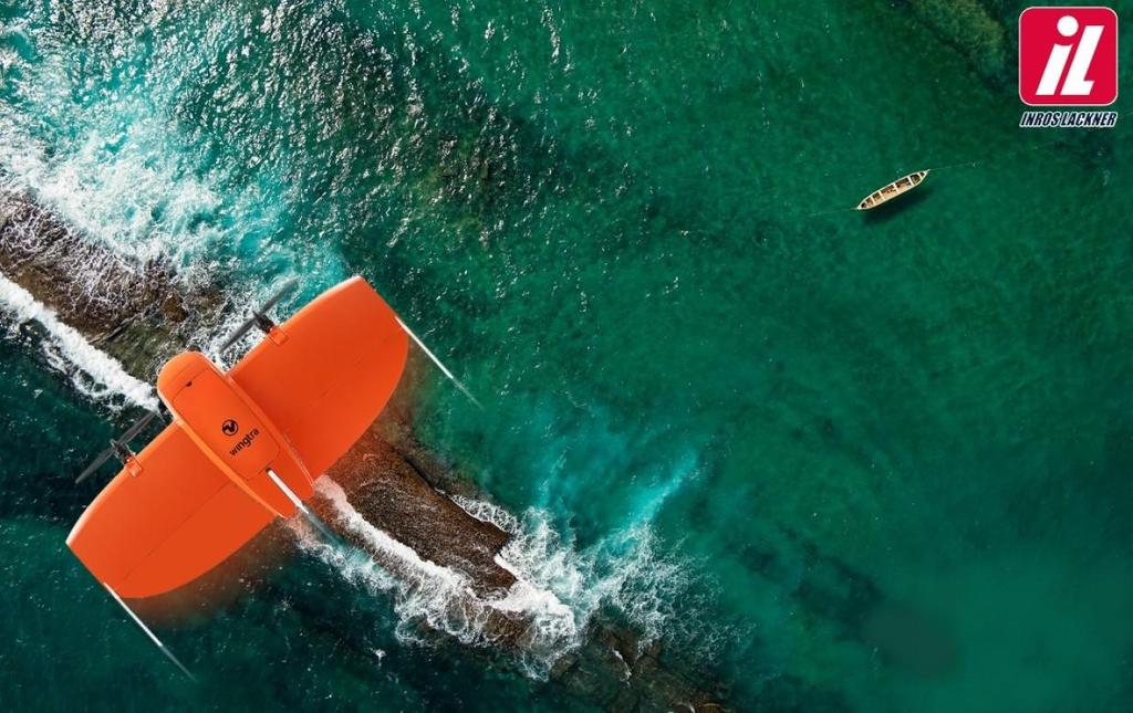
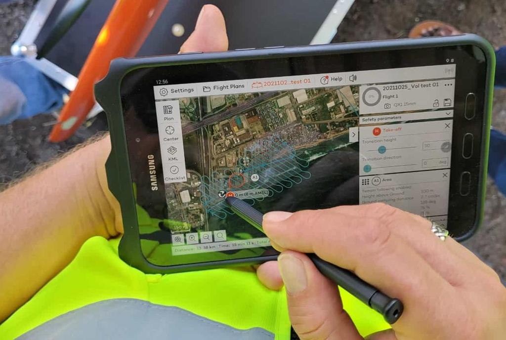
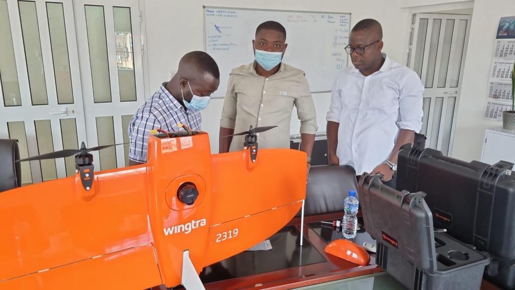
To meet the challenges of large-scale topographic data collection, INROS LACKNER TOGO has acquired a surveying drone from WINGTRA. This VTO (Vertical take-off and landing) drone is capable of photogrammetrically surveying a 400-ha project area in record time. In October 2021, four of our employees took part in a training course to become drone pilots. Further training for photogrammetric data processing is planned to take place soon.
From now on, our new WINGTRAONE drone will be used for the following fields of activity:
- Large-scale topographic data acquisition and 3-D modelling.
- Coastal monitoring,
- Construction monitoring,
- 3-D mapping of mines and many more.