Project

Topographical Survey
Surveying Topographic, Hydrographic and Oceanographic
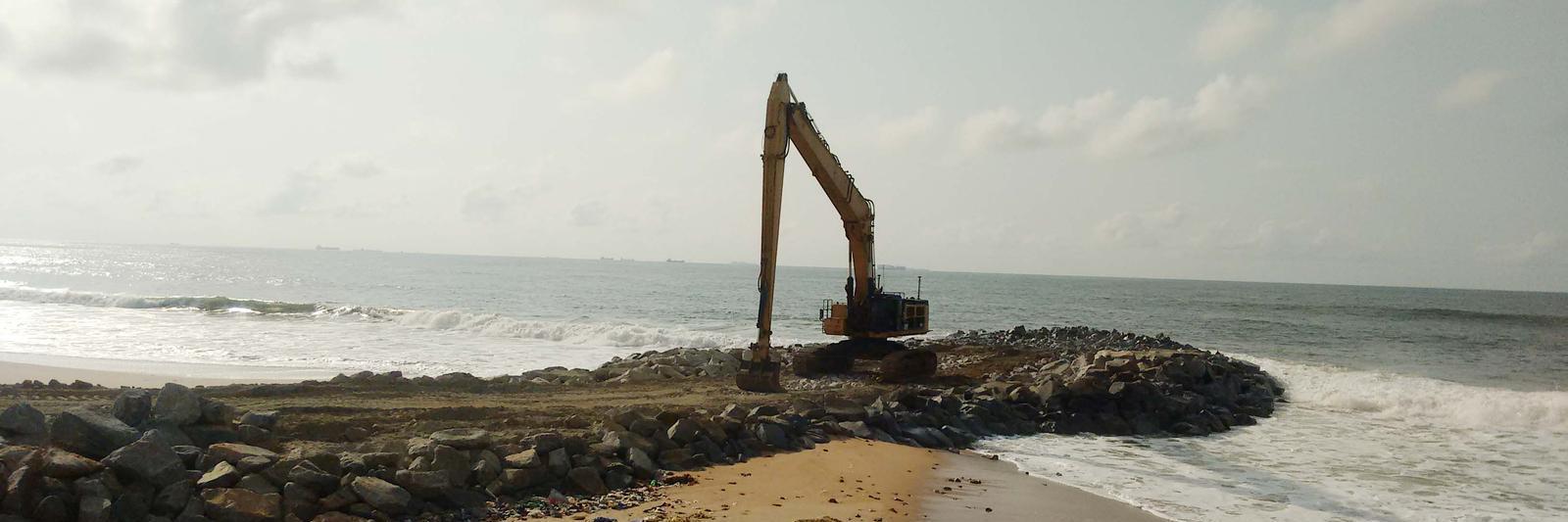
Part of every civil engineering design project are either Topographic, Hydrographic or Oceanographic survey. Surveys are used to identify and map the contours of surfaces of the earth, riverbeds or seafloors. Computer aided software helps our survey to understand and interpret the data they have collected better and thus support our project team in obtaining better results. Our Survey teams are equipped with state of the art topographic and hydrographic survey equipment. We can rely on a strong backbone of experience when it comes to realising survey services. Our Togolese engineers have so far accompanied numerous maritime, infrastructure and urban projects.